









As other parts of the UK continue to experience extreme heat, Northern Ireland is looking at its own tumultuous weather picture.
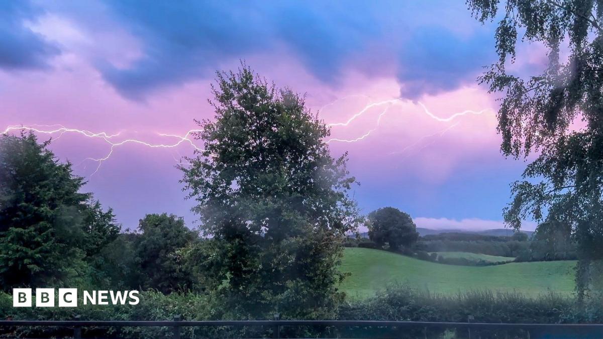
The Met Office has issued a thunderstorm warning for Northern Ireland – and another heatwave has been confirmed on Thursday – the fourth this year so far.
The thunderstorm warning came into force from 11:00 BST and runs until 06:00 on Friday.
Meanwhile, temperatures exceeded 25C in several spots on Thursday and Armagh has had three consecutive days of 25C or more, meaning it is officially a heatwave.
The final maximum temperatures will be available on Thursday evening.
Heatwaves are defined by an area experiencing temperatures of 25C or more three days in a row.
The heat is affecting all parts of the island and temperatures will be even higher across the Republic of Ireland.
Met Éireann, external have issued a yellow level heat alert for Leinster and Tipperary which is in force until 06:00 local time on Friday 14 August.
Northern Ireland’s latest heatwave comes during what is already an exceptional summer in terms of warmth.
The Met Office say that the mean temperature (an average of the maximum and minimum temperatures) in Northern Ireland is 15.4C which is 1.38C above the long-term average, so far this summer.
Provisionally this puts summer 2026 in the top position but there is still three weeks to go.